Physical Address
304 North Cardinal St.
Dorchester Center, MA 02124
Physical Address
304 North Cardinal St.
Dorchester Center, MA 02124
Did you know your zip code determines more than just your mail delivery—it also shapes your disaster risk profile? You’re facing a unique set of natural threats based on where you’ve planted your roots. That tornado siren might be background noise in Kansas but would be alarming in Seattle. Meanwhile, Californians practice earthquake drills while Floridians board up windows against hurricanes. Understanding what’s most likely to hit your specific area could mean the difference between preparedness and peril.
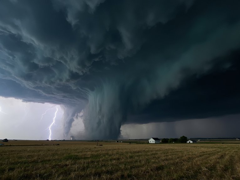
The American Midwest’s most terrifying feature isn’t its endless cornfields or brutal winters—it’s the invisible atmospheric battleground that gives birth to some of the world’s most violent tornadoes. If you live in states like Oklahoma, Kansas, or Nebraska, you’re essentially residing in nature’s spin cycle.
You’ll quickly learn to respect tornado warnings. Unlike hurricanes that give days of notice, these twisters might give you minutes. The weather alert system becomes your lifeline; that jarring buzz on your phone could save your life.
Local storm chasers aren’t just adrenaline junkies—they’re gathering vital data. While you’re hustling to the basement, these meteorological daredevils are driving toward the funnel, documenting wind patterns that might someday improve prediction models. It’s science with a shot of courage you’re probably wise to admire from afar.
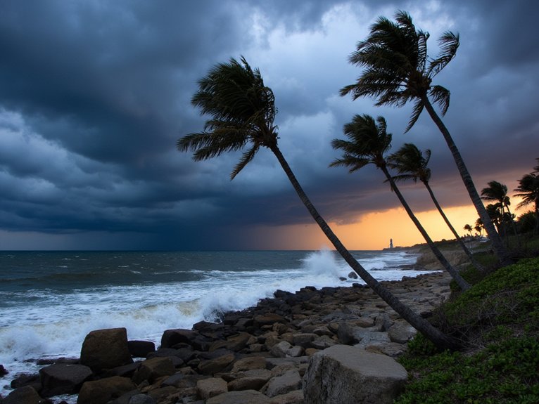
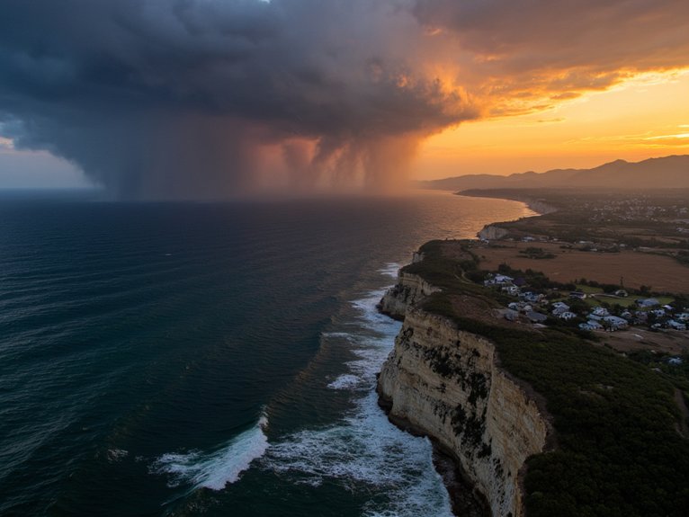
Why do millions of Americans continue building homes along coastlines where catastrophic destruction arrives with seasonal regularity? It’s a puzzling phenomenon I’ve observed firsthand. The Atlantic and Gulf Coasts face a predictable but devastating hurricane season from June through November, when warm ocean waters fuel these massive storms.
If you’re living in these vulnerable zones, you’re facing:
You’re not just gambling with property—you’re betting against increasingly unfavorable climate odds.
Unlike hurricanes that announce their arrival with days of warning, earthquakes strike without notice, transforming solid ground into violent waves in seconds. If you live along the San Andreas, Hayward, or New Madrid fault lines, you’re essentially sitting on geological time bombs. The Pacific Northwest’s Cascadia Subduction Zone could generate a catastrophic 9.0+ magnitude quake any century now.
Your seismic preparedness shouldn’t wait—secure heavy furniture, know where utility shutoffs are located, and keep emergency supplies accessible. California residents, you’ll experience more minor tremors, while those in Memphis or Charleston might face fewer but potentially devastating events due to less frequent fault line activity. The ground beneath your feet isn’t as stable as you think, especially if you live within 50 miles of active faults where tectonic plates meet.

As vegetation dries during increasingly severe drought conditions, America’s forests transform into tinderboxes waiting for a single spark. You’re living in a new reality where wildfire management isn’t just for forest rangers anymore. The western states face the greatest threat, but you’d be surprised how wildfire risk has expanded eastward in recent years.
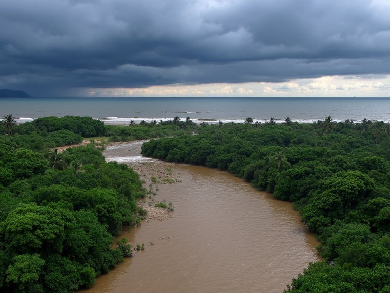
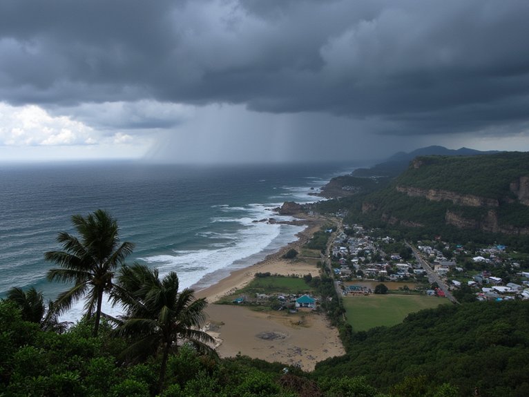
While coastal residents watch anxiously during hurricane season, millions of Americans inland face powerful flood threats that can arrive with little warning. You’re particularly vulnerable if you live within a river basin, where upstream rainfall can trigger flash flooding even during clear skies at your location. It’s not just about location—it’s about preparation.
Effective floodplain management can drastically reduce your risk. If you’re in a designated flood zone, you’ll need specialized insurance (your regular homeowner’s policy won’t cover it). For coastal dwellers, storm surge preparedness isn’t optional—it’s essential. You’d be surprised how many coastal homeowners have evacuation plans but lack proper home reinforcement strategies!
Remember: Water doesn’t care about property lines. Six inches of rushing water can knock you down; two feet can float your car.
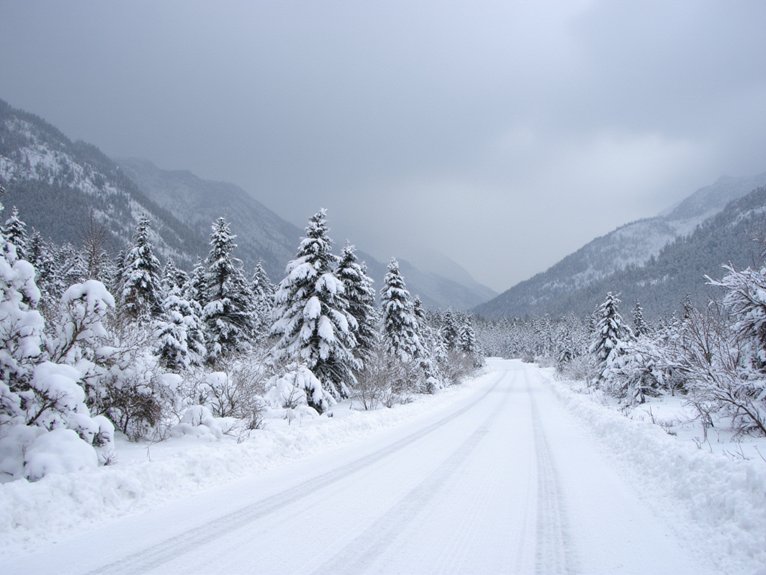
When heavy snow combines with powerful winds and freezing temperatures, you’re facing what meteorologists call a blizzard—nature’s ultimate winter trifecta. These conditions don’t strike randomly; they target specific blizzard belts across the country with alarming regularity. While you might think all winter storms are created equal, the geography that shapes them creates distinct danger zones.
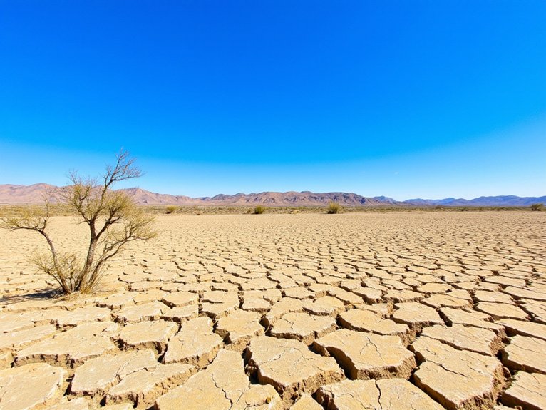
Where do America’s most persistent droughts take root, transforming once-fertile landscapes into parched, cracked expanses? You’ll find them primarily in the Southwest and Great Plains, where water scarcity has become a way of life. These regions face unprecedented desertification challenges as climate patterns shift and groundwater depletion accelerates.
| Region | Impact Level | Key Concern |
|---|---|---|
| Southwest | Severe | Municipal water restrictions |
| Central Valley, CA | Critical | Agricultural collapse |
| Colorado River Basin | High | Interstate water conflicts |
| Great Plains | Moderate-High | Crop failure rates |
| Southeast | Episodic | Forest fire vulnerability |
If you’re living in these hotspots, you’re already familiar with brown lawns and water conservation measures. What you might not realize is how quickly your local aquifers are emptying. It’s not just about shorter showers—it’s about fundamentally reimagining our relationship with water.
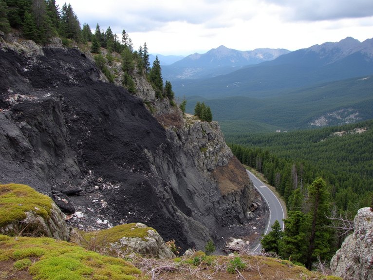
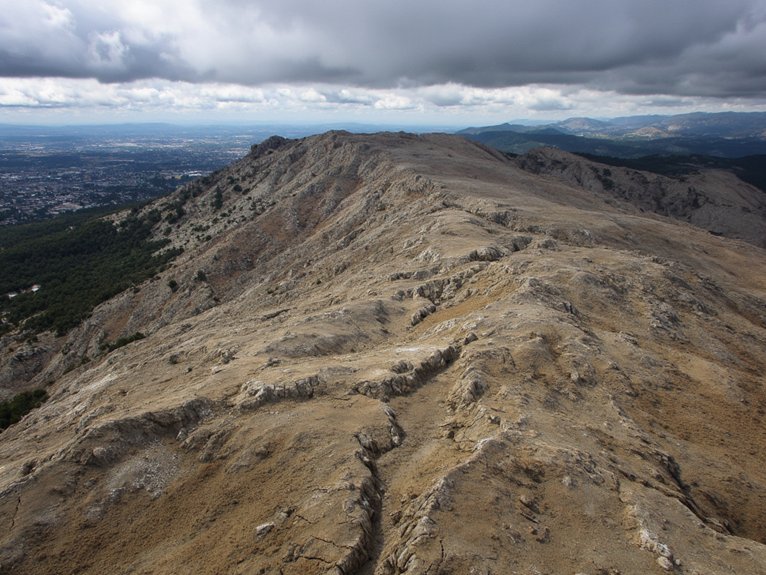
If you’re living in areas with steep slopes, loose soil, or recently burned vegetation, you’re in what geologists call a high-risk zone for landslides and mudslides. You’ll notice warning signs such as tilting trees, newly appearing cracks in the ground, or water suddenly bubbling up from the earth before these disasters strike. Your best defense is recognizing these landscape features and warning indicators early, as even a small shift in the earth can quickly escalate into a catastrophic movement of soil, rocks, and debris downhill.
Nestled within seemingly stable hillsides and sloping terrains, landslide and mudslide hazards represent some of nature’s most deceptive threats you’ll encounter in high-risk landscapes. You’re often unaware of the danger until it’s too late. What makes a location vulnerable? Areas experiencing coastal erosion or underlying sinkhole formation are particularly susceptible.
Here are the telltale features to watch for:
Think of landscapes as living entities—they’re constantly changing, sometimes dramatically. You wouldn’t build a house on quicksand, right? Same principle applies here.
Before a landslide or mudslide releases its destructive power, the earth often sends out warning signals you’d be wise to heed. Trees tilting at odd angles, newly formed cracks in hillsides, or sudden changes in water clarity in streams aren’t just curiosities—they’re nature’s alarm bells.
You’ll notice doors jamming unexpectedly or cracks appearing in foundations when ground begins shifting beneath your home. Unlike earthquakes, these slow-motion disasters give you time to react.
Early warning systems have dramatically reduced casualties in landslide-prone regions. Japan’s network, for example, has cut fatalities by 60% compared to pre-system years. Your community preparedness plan should include evacuation routes away from—not along—potential slide paths. Remember, mudslides move faster than you can run, reaching speeds of 35 mph. Nature talks before it acts; you just need to listen.
You’ve likely noticed how city temperatures can soar higher than surrounding areas, a phenomenon we call “urban heat islands” where concrete, asphalt, and buildings absorb and radiate heat that disproportionately affects elderly, low-income, and medically vulnerable residents. When temperatures climb into dangerous territory, your access to reliable water sources becomes critically important, especially in rural areas where infrastructure may be limited or wells might run dry during extended heat events. The combination of excessive heat and water scarcity creates a potentially deadly scenario that requires community planning, early warning systems, and personal preparation strategies that we’ll explore further.
While cities offer countless conveniences, their concrete jungles create a dangerous phenomenon you’ve likely experienced: the urban heat island effect. Urban areas can be 7-10°F warmer than surrounding rural landscapes because concrete traps heat rather than reflecting it. You’ll notice this especially at night when the stored warmth radiates back.
Here’s how urban concrete amplifies heat:
Your best defense? Seek out green spaces during heat waves. Even small parks can be remarkably cooler than surrounding concrete corridors.
The devastating impact of extreme heat falls disproportionately on society’s most vulnerable members, creating an invisible climate emergency that’s rarely given headline attention. You’ll find that age-related vulnerabilities place both the elderly and young children at highest risk, as their bodies struggle to regulate temperature efficiently. When you factor in socioeconomic impacts, the picture gets grimmer. Those without AC or adequate healthcare access face potentially deadly conditions when temperatures soar.
| Population | Urban Risk | Rural Risk |
|---|---|---|
| Elderly | Isolated in apartments | Limited medical access |
| Low-income | Can’t afford cooling | Often working outdoors |
| Children | Concrete playgrounds | Farm/field exposure |
If you’re in these groups, or care for someone who is, your heat preparedness isn’t just comfort—it’s survival.
When extreme heat collides with water shortages, communities face a potentially lethal combination that intensifies already dangerous conditions. You’re particularly vulnerable if you live in areas where water systems are already stressed by population growth or aging infrastructure. Effective drought management becomes not just advisable but critical for survival in these regions.
Here’s what you’ll notice when water scarcity meets extreme heat:
Simple water conservation habits that once seemed optional—like shorter showers or drought-resistant landscaping—become necessary adaptations to your new climate reality.
Climate patterns we’ve relied on for generations aren’t what they used to be, and you’re likely witnessing these shifts in your own region. Places that rarely flooded now face regular inundations, while once-reliable rainfall has become erratic. Your local climate adaptation strategies might include upgraded infrastructure, but they’ll need to evolve as conditions change.
Regional emission patterns play a surprising role in your area’s specific risks. The Northeast faces intensified precipitation, while the Southwest grapples with extended droughts. You’ve probably noticed these changes yourself—earlier spring blooms, longer wildfire seasons, or more “hundred-year storms” hitting every few years.
What’s important isn’t just understanding these shifts but recognizing that yesterday’s disaster maps are increasingly unreliable guides for tomorrow’s threats. Your region’s disaster profile is being rewritten in real-time.
You’ll need to identify local hazards, prepare emergency supplies, map evacuation routes, assign family roles, and participate in community drills. Don’t forget to update your plan annually and practice regularly.
You’ll need insurance policies that match your risk assessment. Consider flood, earthquake, windstorm, and fire coverage based on your location’s specific vulnerabilities. Don’t forget personal property protection.
When disaster declarations are approved, you’ll gain access to federal aid processes including grants, loans, and housing. Your community engagement can strengthen your eligibility for individual assistance through improved documentation and application support.
You’ll need regional food storage tailored to your area’s specific threats, emergency communication devices like weather radios, water filtration, first-aid supplies, and backup power sources for your home’s essentials.
For home safety on a budget, focus on securing heavy furniture, installing smoke detectors, sealing windows, storing emergency supplies, and fixing structural weaknesses. Small budget upgrades now prevent bigger expenses later.